A field data collection app with GPS capabilities can improve data quality–here’s how
Collecting data in the field using computer-assisted personal interviewing (CAPI) means using mobile devices like smartphones and tablets to host your surveys and forms, record responses, and store data until it can be synced to a cloud-based or exported. This form of digital data collection offers many data quality advantages, and in the last decade, organizations in international development, humanitarian aid and related fields have been utilizing these methods for their impact evaluations, M&E work, and field operations.
This shift towards digital data collection has a lot of obvious benefits. Digital surveys are more secure, less likely to be lost or damaged, and faster to complete. There is also another major advantage to this type of data collection: data quality features! Apps that collect data often have features designed to enhance the accuracy and completeness of your surveys–something paper surveys just can’t compete with.
One exciting tool that can improve data quality in multiple ways is geolocation data, which makes use of built-in GPS (Global Positioning System) in mobile devices which can be integrated into survey forms on some data collection apps, such as SurveyCTO. Organizations in international development and related fields often collect data in locations that are remote, have poor infrastructure, or are dealing with conflicts or natural disasters. Having accurate location data available on your data collection device and integrated into your data collection app can save time and resources in all kinds of ways.
Three fieldwork scenarios for GPS data collection
There are numerous ways to use GPS data collection in your fieldwork and CAPI surveys. In this article, we’ll explore examples of common fieldwork scenarios:
Scenario 1: Getting field teams where they need to be
In-person interviews generally means managing enumerators as they physically travel to their survey subjects. Household surveys, data collection in humanitarian action, and impact evaluations are just a few examples of the type of surveys that very often require this type of travel from enumerators.
Amber Liskey has worked in data collection and research focused on food security and livelihoods in Africa and the Middle East. She says that fieldwork is inherently taxing on enumerators given travel requirements and time constraints. “In the field, the team can start out really strong and by the end of the time period you’re not necessarily going to be able to collect the same number of surveys per day. I think that’s something that’s really very specific to fieldwork. I mean, enumerators are doing things like traveling in really difficult conditions.”

The data quality implications are clear: Enumerators struggling through exhausting, stressful or time-consuming travel may not keep pace with their expected workload. The quality of their interviews could suffer, meaning your data isn’t going to be as accurate and complete as you need it to be. And quickly or poorly-done surveys equal poor-quality data and no clear insights into problems your organization wants to solve.
One simple, user-friendly, and cost-effective solution to the difficulty of fieldwork travel? GPS.
Using the Geopoint field in SurveyCTO plus the Google maps app, you can provide a route between enumerators and their intended interview location. You do this by installing the Google Maps app on each enumerator device and then preloading GPS data for each interview location. If you aren’t relying on paper and pen for your surveys, GPS can ensure your field teams don’t have to rely on physical maps to get around, either!
You can also use the Geopoint field to help with any fieldwork scenario that involves managing locations. Use it to correctly identify the location of specific homes, villages or facilities in the field before setting up enumerator devices to plot out routes between them and their destination. Create clusters of households/facilities/etc. based on location and assign each one to an enumerator, making their field travel more efficient. Or, map households to ensure intended randomization and distribution.
Scenario 2: Agricultural development

According to the Gates Foundation, agriculture is the main source of income for several hundred million people around the world who also live in poverty. Farmers in low-to-middle-income (LMIC) countries stand to benefit tremendously from investment and technologies to improve their crop yields and adapt to climate change. This has made data collection for agricultural development a highly technical field that involves sophisticated data work like mapping farm plots and calculating crop yields. This work is made even more complex by the fact that farmers in LMICs often have fragmented landholdings, meaning field teams must gather data from multiple plots per individual farmer or family–and many of these plots grow different types of crops.
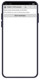
If you work for an NGO in agricultural development, you might be used to doing this data collection intensive work manually. But with a digital data collection tool like SurveyCTO, you can use the Geotrace and Geoshape fields to accurately measure and calculate farm plot sizes for agricultural surveys.
With the Geotrace field, the process is simple: Set your forms up to make use of this field plus Google Maps. This enables enumerators to physically walk around plots, dropping pins either automatically at set intervals, or manually, in their map in SurveyCTO Collect. This traces a pathway that results in an accurate plot measurement.
With the Geoshape field, you can set three or more coordinates on a map in SurveyCTO Collect to measure out a farm plot if you know where it is on a map (no walking required). For both options, you can also use the area() function to calculate total plot areas in meters-squared. You can even use this function on a repeated GPS field!

Scenario 3: Longitudinal data collection
In standalone, cross-sectional surveys, you might randomly select respondents, schools, or facilities in the field to interview or collect data from. However, in entity-based data collection projects, such as longitudinal studies or other types of data collection that use case management, you’ll be tracking the same subjects over time, using multiple interviews or forms.
In these cases, verifying that your team is following up with the same subjects by going to the correct households or facilities is critical, as data collection workflows can be invalidated by mixing up respondents in a longitudinal project.
A further complication organizations face in longitudinal projects is that they often end up hiring different enumerators throughout the project, meaning that enumerators cannot independently verify if they are following up with the same subjects from earlier rounds of data collection. For example, if you conduct a baseline survey on infant health in November, and a midline survey on the same families and babies the following April, you’ll likely end up with a different pool of enumerators for the second round of interviews. While there are many things you can do during enumerator training to ensure your team does the midline surveys with the right respondents, GPS data collection can be extremely useful in this instance.
With GPS features, project coordinators can verify enumerator locations remotely to ensure they’ve visited the correct location and households assigned to them. (If you’re using SurveyCTO’s case management functionality, you can actually assign specific cases to enumerators in your workflows with these enumerator management tools for even more streamlined case assignments).
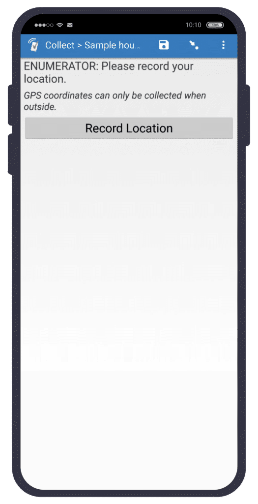
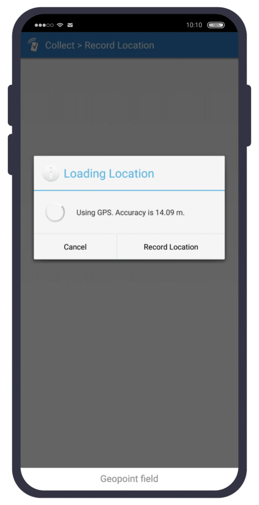
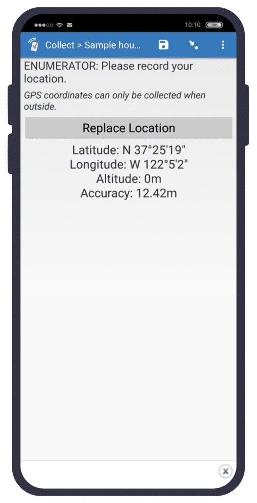
This location verification is done by adding a Geopoint field into your forms and having enumerators record their locations in Collect for each interview.


Use GPS for better data today
SurveyCTO’s GPS features were designed to make your projects better and provide your team with useful tools for their fieldwork. You can even use this functionality in areas with no internet using MBTiles!
From agriculture to longitudinal studies to effective enumerator management, as long as your devices have a GPS sensor, you can use GPS to increase efficiency, maximize resources, and deliver greater impact.
Want to learn more about GPS data collection with SurveyCTO?
Explore this blog post and product documentation article.


